Informational Text Anchor Chart
$1.50
Anchor charts · Grades K–5 · PDF, 8 pages · $1.50
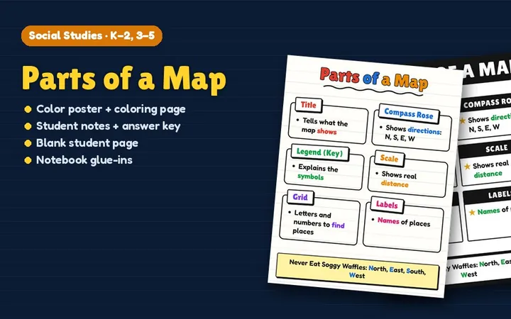
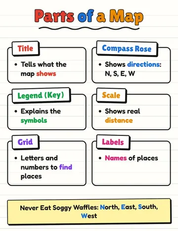
A ready-to-hang Parts of a Map anchor chart in our chart-paper style: lined easel paper, big marker titles and clear labels students can read from across the room. Print it on letter paper as a poster, or project it and trace it onto chart paper.
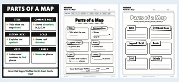
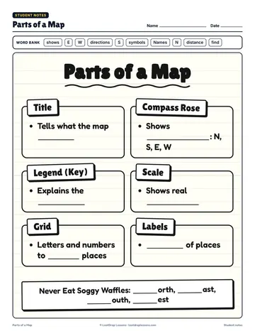
You get it in two designs, our chart-paper style and a bold black-banner style, plus matching student pages: a black-and-white coloring version, fill-in-the-blank notes with a word bank and answer key, a blank page where students build their own chart, and notebook glue-ins sized for composition notebooks and folders.
Download the free Parts of a Map Anchor Chart poster (PDF)
The chart is laid out as 6 boxes:
Tip on the chart: Never Eat Soggy Waffles: North, East, South, West
Topics: anchor, chart, poster, visual, coloring, pages, printable, sel, social, emotional, kindergarten, prek, elementary, grade, 1, 2, 3, 4, 5
Built for grades K–2, 3–5 (pre-K and elementary). Format: PDF, 8 pages. $1.50 on its own, or included with All-Access. Ways to use it: hang it as a poster or project and trace it on chart paper; students glue the notes into interactive notebooks.
Grades K–5, so it fits pre-K and elementary classes.
PDF, 8 pages.
$1.50, or free with an All-Access membership.
Full-color poster in two designs: chart paper and bold banner (8.5 × 11 in), Black-and-white coloring version, Fill-in-the-blank student notes with a word bank, Answer key, Blank "build your own" student page, Notebook glue-ins: complete and blank (7 × 4¾ in).
Yes, an answer key is included.
Popular ways to use it: Hang it as a poster or project and trace it on chart paper; Students glue the notes into interactive notebooks; Fill in the blank page together as you teach the lesson.
Yes. The full-color Parts of a Map poster is a free one-page PDF you can download from this page. The $1.50 set adds a second poster design, a coloring version, fill-in notes with an answer key, a blank build-your-own page and notebook glue-ins.